| |
|
Walk 201
- 13/01/19 Gawsworth and Sutton with Broken Cross
Walkers |
| Area |
Cheshire |
Distance |
7 miles |
Ascent |
386 ft |
| Walk |
Gawsworth and Sutton with Broken Cross Walkers |
Maximum altitude |
614 ft |
Minimumum altitude |
451 ft |
| Start
from |
Gawsworth Church |
Post |
code |
|
Duration including
stops |
|
|
|
| Weather |
Overcast |
|
|
|
|
| Map |
Explorer 268 |
Information from Viewranger app on my Samsung S7 phone |
|
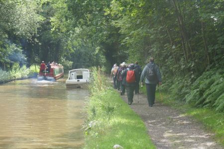
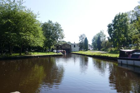
Route - Gawsworth -
Woodhouse Green Farm - Sutton Reservoir - Sutton Village-
Sutton Hall - Canal - Danes Moss - Gawsworth |
|
|
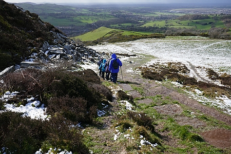
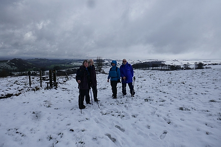
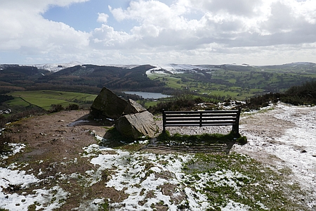
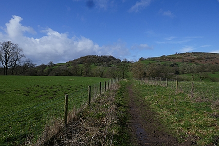
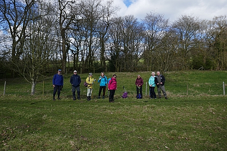
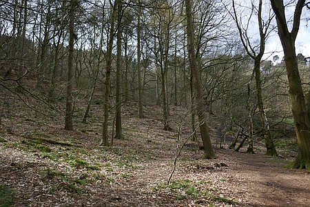
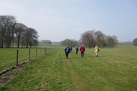
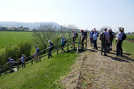
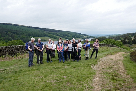
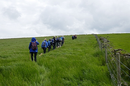
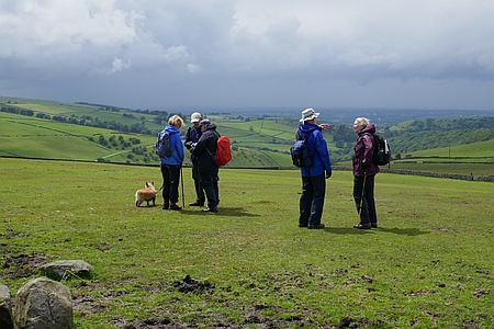
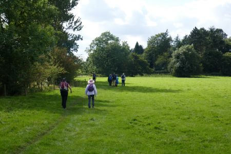
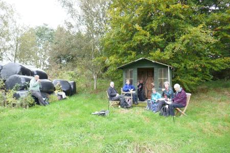
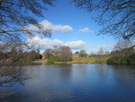
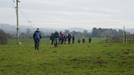
Sixteen of us set off from Gawsworth and followed the path
across the fields and along the lane to Woodhouse Green
Farm, more field paths took us up to the Canal and then it
was across the road and up the muddy and slippery path
to the Dam on Sutton Reservoir, an easy path then led us
alongside the Reservoir and into Sutton Village
where we stopped for lunch in the small public park by the
school. Afterwards the field path took us past Sutton Hall
and onto the canal towpath which we followed
south to Danes Moss. A nice easy path took us across the
Moss and then more field paths brought us back to
Gawsworth Church and our start point. Many thanks to Kati, Wendy,
Hans, Chris J, Alec, Judith, Irene, Janet, Una, Marlene,
Diana, Chris R, Sue V, Rita and Sue P for joining me
on this walk |
|
|
 |
|
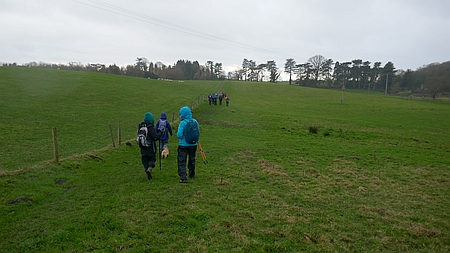
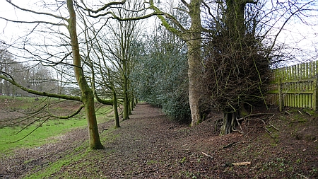
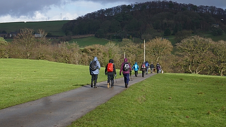
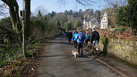
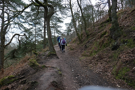
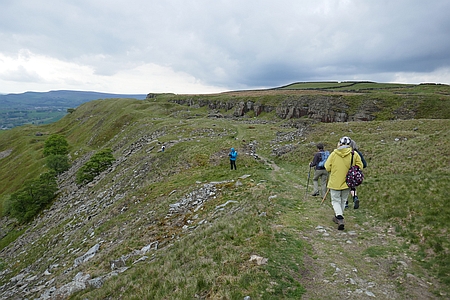
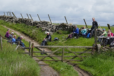
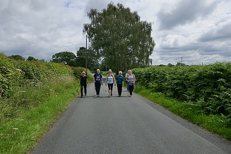
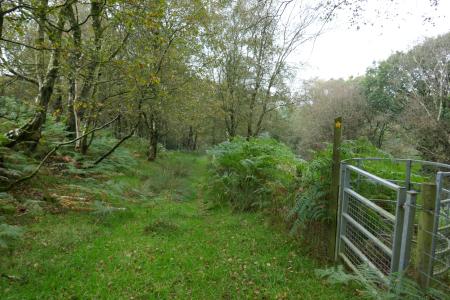
Nearly back at
Gawsworth |
|
|
| |
|
|
 |
|
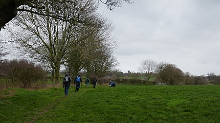
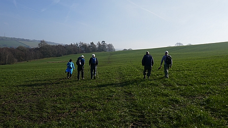
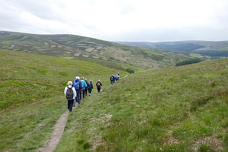
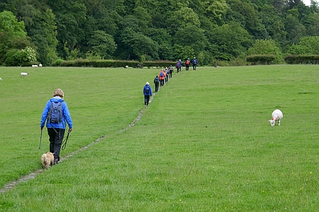
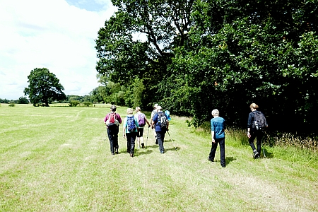
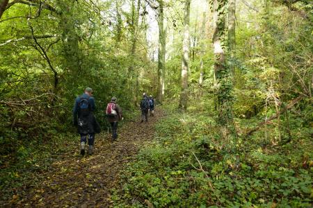
Heading across to Sutton |
|
|
 |
|
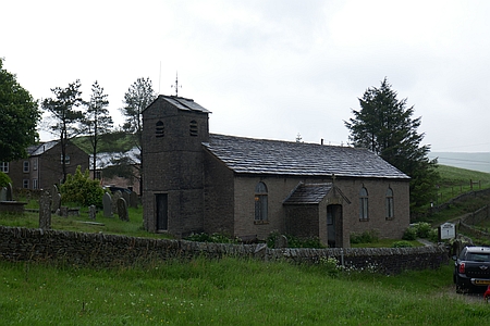
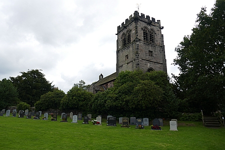
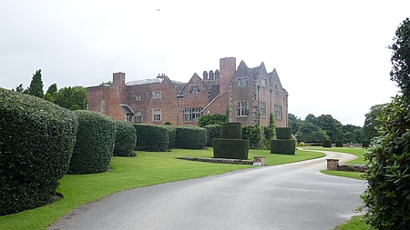
Gawsworth Church |
|
|
|
| |
|
|
| |
|
| |
|
Walk 202
- 27/01/19 Gawsworth and Heskey Wood |
| Area |
Cheshire |
Distance |
7 miles |
Ascent |
|
| Walk |
Gawsworth and Heskey
Wood |
Maximum altitude |
464 ft |
Minimum altitude |
344 ft |
| Start
from |
Gawsworth |
Post |
code |
|
Duration including
stops |
3½ hours |
|
|
| Weather |
Overcast, windy7 |
|
|
|
|
| Map |
Explorer 268 |
Information from Viewranger app on my Samsung S7 phone |
|
Route - Gawsworth -
Marton Lane - Walkersheath - Henshall Hall - Heskey Wood -
Tidnock Wood - Shellow Lane - Cloverbank Gawsorth |
|
|
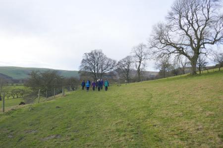
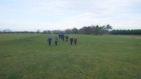
Fifteen of us set off from Gawsworth and followed the
field paths over to Marton Lane, then after some
distance along the lane we passed through Walkersheath and
across the fields to Henshall Hall, Heskey Wood gave us
some shelter from the wind for a coffee stop and then it
was through the wood and along the lane to Tidnock
Wood. Once past the wood a track took us through Great
Tidnock Farm and shortly afterwards we stopped for lunch
at a farm track junction, not ideal but the best shelter
we could find from the incessant wind. Afterwards we
carried on along the track and over the A536 and onto
Shellow Lane which we followed for some distance. An
easy field path then headed north past Cloverbank Organic
Farm and the nearby fishing ponds and then back to the
cars near Gawsworth Church. |
|
Many thanks to Anita,
John, Wendy, Judith, Diana, Kim, Kane, Julie, Trevor,
Shirley, Kati, Chris R, Sue V and Sue P for joining me on
the windy walk around Gawsworth and Heskey Wood. |
| |
 |
|
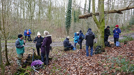
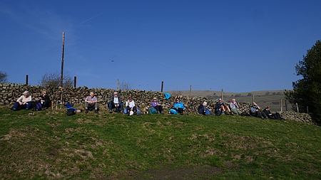
Coffee break in the
shelter of Heskey Wood |
| |
|
|
| |
| |
| |
|
|
 |
|
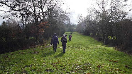
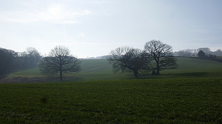
A
lovely avenue of trees as we head away from Gawsworth |
|
|
 |
|
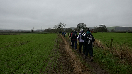
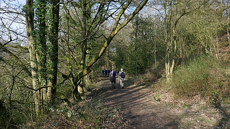
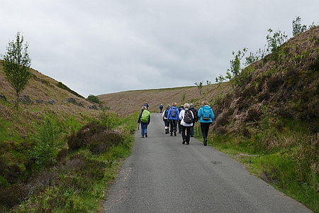
Heading back to Gawsworth |
|
|
|
|
|
|
|
|
|
|
|
| |
|
|
| |
|
| |
|
Walk 203
- 10/02/19 Rushton Spencer and Rudyard |
| Area |
Staffordshire |
Walking time |
3
hours |
Average speed |
|
| Walk |
Rushton Spencer and Rudyard |
Minimum altitude |
517 ft |
Maximum altitude |
787 ft |
| Start
from |
Staffordshire Way Car Park Rushton - Post
Code - |
Altitude loss |
|
Altitude gain |
1051
ft |
| Weather |
Overcast |
Distance |
7.24
miles |
|
|
| Map |
Explorer 268 |
Information from Viewranger app on my Samsung S7 phone |
|
Route - Rushton
Spencer - Rushton Church - Barns Lee, Birch Trees Farm -
Horton Lodge - Rudyard - Cliffe Park - Rushton Spencer |
|
|
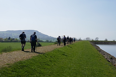
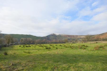
Eleven of us set off from Rushton Spencer and followed the
disused rail track south and then across the fields to the
lovely Rushton Church which sits on the hillside looking
down on Rushton Spencer. Once down the drive we followed
the lane and after passing Rushton Hall and Barns Lee we
took the muddy field path up the hillside and across to
Birch Trees Farm stopping for coffee in a sheltered area.
Once through the farm we followed the long farm drive out
onto the road and then after a short distance a narrow
path took us past Horton Lodge and down to the Cafe by the
Rudyard Dam. Comfy benches enabled us all to sit
comfortably for lunch and then it was back up the track
and along the lakeside path through Rea Cliffe Wood and
past the derelict Cliffe Park which appeared to be
possibly ripe for renovation. We continued on along the
Staffordshire Way and rejoined the disused railway track
fro the walk back to the start at Rushton Spencer.
Many thanks to Kati, Rob, Hans, Wendy, Chris J, Alec, Sue
P, Dianna, Judith and Irene for joining me on this
walk. |
|
|
 |
|
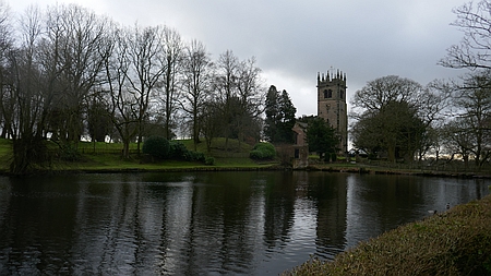
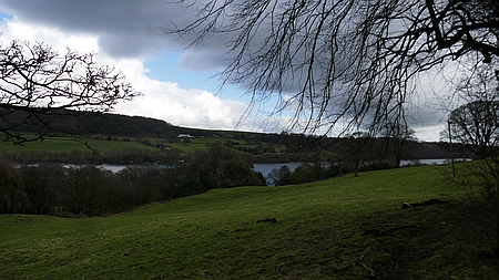
Rudyard Lake |
|
|
| |
|
|
| |
| |
| |
|
|
 |
|
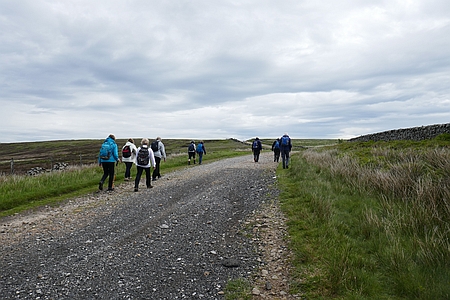
Heading towards Birch Trees Farm |
|
|
 |
|
Heading back to Rushton Spencer |
|
|
|
|
|
|
|
|
|
|
|
| |
|
|
| |
|
| |
|
Walk 204
- 24/02/19 Whaley Bridge and Taxal |
| Area |
Peak District |
Distance |
7 miles |
Ascent |
1493 ft |
| Walk |
Whaley Bridge and Taxal |
Maximum altitude |
954 ft |
Minimum altitude |
504 ft |
| Start
from |
Whaley Bridge |
Post |
code |
|
Duration including
stops |
4½ hours |
|
|
| Weather |
Sunny periods |
|
|
|
|
| Map |
|
Information from Viewranger app on my Samsung S7 phone |
|
Route - Whaley Bridge
- Toddbrook Reservoir - Kishfield Bridge - Gap House -
Taxal - Hillbridge Nature Reserve - Whaley Bridge |
|
|
Thirteen of us set off from Whaley Bridge on a lovely
sunny day and took the paths and tracks up alongside
Toddbrook Reservoir, the hillside paths gave some stunning
views across the valley and then we descended to Kishfield
Bridge and then across to Taxal passing Gap House on
the way. We stopped in Taxal Churchyard for lunch and then
it was across the fields to Hillbridge Nature Reserve and
after crossing the foot bridge over the River Goyt we
headed north along the river bank past New Horwich and
back into Whaley Bridge. Many thanks to John, Alec, Derek,
Judith, Diana, Wendy, Rob, Trevor, Sue V, Susanna, Kati
and Hans for joining me on this scenic walk. |
|
|
 |
|
Nice place for a
coffee break |
|
|
 |
|
Looking towards Taxal
Moor |
| |
 |
|
Heading back through
Shallcross Wood |
|
|
 |
|
Heading up the lane above Toddbrook Reservoir |
|
|
 |
|
Heading towards Hillbridge and Parkwood Nature Reserve |
|
|
|
|
|
|
 |
|
River Goyt |
|
| |
|
|
| |
|
| |
|
Walk
205 - 10/03/19 Teggs Nose and Langley |
| Area |
Cheshire |
Distance |
6.90 miles |
Ascent |
1242 ft |
| Walk |
Teggs Nose and Langley with Broken Cross Walkers |
Maximum altitude |
1233 ft |
Minimum altitude |
514 ft |
| Start
from |
Higher Hurdsfield |
Post |
code |
|
Duration including
stops |
4 hrs 20 mins |
|
|
| Weather |
Rain and hail showers
and sunshine |
|
|
|
|
| Map |
|
Information from Viewranger app on my Samsung S7 phone |
|
Route - Higher
Hurdsfield - Gritstone Trail - Teggs Nose - Langley - The
Hollins - Macclesfield Canal - Higher Hurdsfield |
|
| Five
hardy walkers braved the elements as we set off from
Higher Hurdsfield in the rain, we headed up Cliff Lane and
avoided the muddy hillside further up the lane the rain
eased off and we climbed up through the wood with several
inches of snow on the ground, glimpses of blue sky and the
sun gave us hope as we followed the Gritstone Trail across
the fields to Teggs Nose Cafe. It was too early for lunch
but the warm fire and smell of hot coffee proved too much.
After our break we followed the track through the quarry
with some great views across the hills. A steep descent
down the snowy hillside into Langley needed caution but we
were soon down onto level ground and through the village.
After lunch in the Churchyard we passed Langley Hall and
took the field path up and over the Hollins, once again we
had some great views over Macclesfield and the Cheshire
Plain. After passing the Golf Course we joined the canal
and followed this back to Hursdfield Road and then up the
road and back to the car park. A great walk which started
out in rainy weather and then improved considerably as the
day wore on. many thanks to Kati, John D, Sheila and Diana
for joining me on this seven mile walk. |
|
|
 |
|
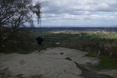
Looking across to
Macclesfield Forest from Teggs Nose |
|
|
 |
|
Heading down to
Langley |
| |
| |
| |
|
|
 |
|
On
the Gritstone Trail |
|
|
 |
|
A
bench with a view on Teggs Nose |
|
|
 |
|
Heading to the Hollins from Langley |
|
|
|
|
|
| |
|
|
| |
|
| |
|
Walk
206 - 24/03/19 Mottram St Andrew and Nether Alderley |
| Area |
Cheshire |
Distance |
6.34 miles |
Ascent |
989 ft |
| Walk |
Mottram St Andrew and Nether Alderley |
Maximum altitude |
626 ft |
Minimum altitude331 ft |
|
| Start
from |
Mottram St Andrew |
Post |
code |
|
Duration including
stops |
4 hours |
|
|
| Weather |
Sunny periods |
|
|
|
|
| Map |
Explorer 268 |
Information from Viewranger app on my Samsung S7 phone |
|
Route - Mottram -
Clock House Wood - Dickens Wood - Armada Beacon - Bradford
House - Finlow Hill - North Cheshire Way - Mottram |
|
| Ten
of us set off from Mottram St Andrew and followed the
field path to Clock House Wood and then along woodland
path which took us through Dickens Wood to the Armada
Beacon. We crossed the road and passed White Barn and
along the Bradford Lane for a short distance. We found a
sunny spot for lunch and then carried on across the fields
past Finlow Hill and Mount Farm. A short stretch along the
North Cheshire Way took us to Goose Green Farm and then a
final field path brought us back to Mottram St Andrew.
Many thanks to Anita,
Kati, Judith, Rita, Derek, Sue P, Rob, Ken and Diana for
joining me on this pleasant walk. |
|
|
 |
|
Heading up though the
woods |
|
|
 |
|
Just finished lunch
and ready for the off |
| |
| |
| |
|
|
 |
|
Spring is on the way shortly |
|
|
 |
|
Looking out from the Edge over to Manchester |
|
|
 |
|
Heading back to Mottram |
|
|
|
|
|
| |
|
|
| |
|
| |
|
Walk
207 - 07/04/19 Harpurhill and Brierlow Dale with
Broken Cross Walkers |
| Area |
Derbyshire |
Distance |
7.63 miles |
Ascent |
938 ft |
| Walk |
Harpurhill and Brierlow Dale with Broken Cross
Walkers |
Maximum altitude |
1257 ft |
Minimum altitude |
968 ft |
| Start
from |
Poole Cavern, Buxton |
Post |
code |
|
Duration including
stops |
4½ hours |
|
|
| Weather |
Overcast |
|
|
|
|
| Map |
|
Information from Viewranger app on my Samsung S7 phone |
|
Route - Buxton -
Harpurhill - Disused track - Brierlow Bar - Brierlow Dale
- KIngs Sterndale - Cowdale - Staden - Buxton |
|
| Eight
of us set off from near Pooles Cavern in Buxton and
followed the tracks and paths across to Harpurhill, a path
between the house took us up the hillside where we joined
the disused railway track that used to service the
hillside quarries. We followed this for several miles and
then field paths took us down to Brierlow Bar where we
stopped lunch. Afterwards we crossed the main road and
took the path down through Brierlow Dale before eventually
taking the steep path up the hillside and out of the Dale.
Easy field paths and tracks then took us across to King
Sterndale and then across to Cowdale and then Staden. A
downhill path then led us down into the outskirts of
Buxton to join the path back to our start point near
Pooles Cavern. Many thanks to Anita, Chris R, Ken , David
I, Marlene, Diana and Bernie for joining me on this walk.
|
|
|
 |
|
Descending down
towards Brierlow Dale |
|
|
 |
|
Marlene stroking the
friendly bull, he was a big hefty beast |
| |
| |
| |
|
|
 |
|
Heading down Brierlow Dale |
|
|
 |
|
Heading towards Cowdale |
|
|
|
|
|
|
|
|
|
|
|
| |
|
|
| |
|
| |
|
Walk
208 - 21/04/19 Bosley Reservoir Circular |
| Area |
Cheshire |
Distance |
7.50 miles |
Ascent |
694 ft |
| Walk |
Bosley Reservoir Circular |
Maximum altitude |
692 ft |
Minimum altitude |
357 ft |
| Start
from |
Bosley |
Post |
code |
|
Duration including
stops |
4 hours |
|
|
| Weather |
Sunny |
|
|
|
|
| Map |
Explorer 268 |
Information from Viewranger app on my Samsung S7 phone |
|
Route - Bosley -
Macclesfield Canal - Bosley Locks - Cowley - Stoneyfield -
Primrose Bank - Bosley Reservoir - Bosley |
|
|
Seventeen of us set off from Bosley and followed the field
paths and tracks across to the Macclesfield Canal, after a
pleasant coffee break on the towpath we headed over the
aqueduct and north past Bosley Locks to Cowley and then it
was up the narrow lane and across the main road to
Stoneyfield, tracks and field paths took us along
the hillside where we found a shady spot to stop for lunch
with outstanding views across the valley, We passed
Primrose Bank and joined the easy footpath along the shore
of Bosley Reservoir and then along the dam and then across
then fields and back to Bosley. Many thanks to
everyone for coming along on this sunny walk of just over
seven miles. Our group consisted of Irene, Diana, David I,
Judith, Marlene, Sue P, Chris R, Wendy, Hans, Pauline,
Kati, Derek, Rob, Ros, Sheila, Trevor and David P the
leader. |
|
|
 |
|
Macclesfield Canal |
|
|
 |
|
Walking across the dam
on Bosley Reservoir |
| |
| |
| |
|
|
 |
|
Heading away from Bosley |
|
|
 |
|
Looking across to the Radio Tower on Croker Hill |
|
|
 |
|
Bit
of a queue |
|
|
|
|
|
| |
|
|
| |
|
| |
|
Walk 209
- 05/05/19 - Prestbury and Butley Town |
| Area |
Cheshire |
Distance |
7.25 miles |
Ascent |
685 ft |
| Walk |
Prestbury and Butley Town |
Maximum altitude |
|
Minimum altitude |
|
| Start
from |
Riverside Park, Beech
Lane |
Post |
code |
SK10 2SL |
Duration including
stops |
4 hours |
|
|
| Weather |
Sunny periods |
|
|
|
|
| Map |
Explorer 268 |
Information from Viewranger app on my Samsung S7 phone |
|
Route - Riverside Park
- River Bollin - Prestbury - Park House Farm - Butley Town
- Dumbah Hollow - Clarke Lane - Middlewood Way - Riverside
Park |
|
|
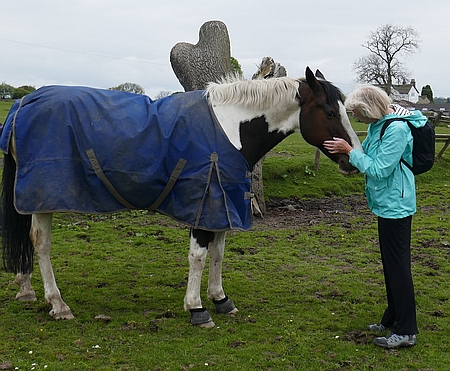
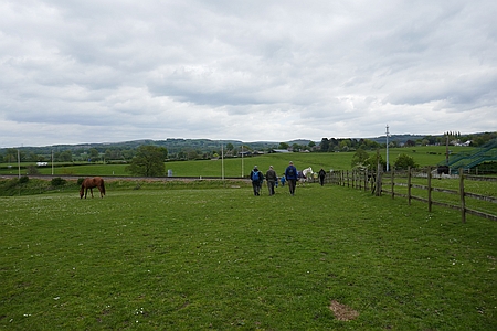
Twelve of us set off from the Riverside Park and followed
the path alongside the River Bollin and into Prestbury.
Once through the village a track took us through Park
House Farm where we stopped for a coffee break in the
field. An inquisitive horse meant we did not stay long and
then we crossed the railway line and the main road
and into Butley Town. Once through this small hamlet we
stopped for lunch and then after crossing several fields
we entered Dumbah Hollow, a little sanctuary beside the
busy main road. Our route then lay along the Middlewood
Way and then back down the lane to our start at the
Riverside Car Park. Many thanks to Anita, Chris R, Wendy,
Janet D, Dianna, Rob, Derek, Anne, Kati, David I, Judith
and David the leader |
|
|
 |
|
Diane practising her
horse whispering |
|
|
|
|
 |
|
Heading across the fields towards Butley Town |
|
|
 |
|
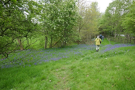
Bluebells in Dumbah Hollow |
|
|
|
|
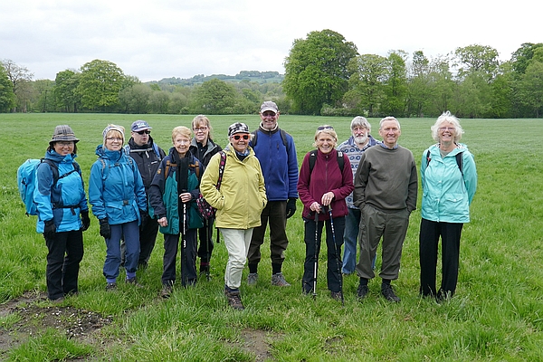
Our
group today from the left, Kati, Anne, Chris R, Janet, Wendy,
Anita, Derek, Judith, David I, Rob, Diana and myself behind
the camera |
| |
|
| |
|
| |
|
| |
|
|
| |
|
| |
|
Walk
210 - 19/05/19 Whaley Bridge and Chinley Churn |
| Area |
High Peak |
Distance |
7.63 miles |
Ascent |
1434 ft |
| Walk |
Whaley Bridge and Chinley Churn |
Maximum altitude |
1482 ft |
Minimum altitude |
469 ft |
| Start
from |
Whaley Bridge |
Post |
code |
SK23 7NT |
Duration including
stops |
4¼ hours |
|
|
| Weather |
Overcast |
|
|
|
|
| Map |
OS The Peak District -
Dark Peak area OL1 |
Information from Viewranger app on my Samsung S7 phone |
|
Route - Whaley Bridge
- Waterside - Green Head - Clough Head - Overhill Road - Chinley Churn - Crackern
Churn - Buxsworth - Whaley
Bridge |
|
|
Eleven of us set off
from Whaley Bridge and after a short distance along the
canal we passed through Waterside and began the steady
ascent up the hillside passing Green Head and Clough Head
Farm where we stopped for a coffee break. Then it was to
Overhill Road with its very welcome flat sections. At the
track junction we took the path east and began the final
uphill stretch which brought us to Chinley Churn. A
convenient place for lunch with extensive views across to
Kinder Scout and the surrounding hills. After lunch
we headed south along Cracken Edge with a few sections
which needed care on the narrow path. The route then led
its way down to the road where we joined a level track
which eventually brought us to Brierley Green and
Bugsworth Canal Basin. An easy walk along the towpath
brought us back into Whaley Bridge where some of us
sampled the coffee and cakes at the nearby cafe. Many
thanks to everyone for coming along on this hilly walk.
Our group consisted of Anita, Judith, Kati, Diana, Sheila,
Rita, David I, Ken, Kim, Anne and David P our leader |
|
|
|
 |
|
Ken near Chinley Churn |
|
|
|
|
|
|
|
|
 |
|
Coffee break near Clough Head Farm |
|
|
 |
|
Heading along Cracken Edge |
|
|
|
|
|
|
|
|
|
|
|
| |
|
|
| |
|
| |
|
Walk
211 - 02/06/19 Goyt Valley and Goytsclough |
| Area |
Peak District |
Distance |
6.84 miles |
Ascent |
1152 ft |
| Walk |
Goyt Valley and Goytsclough |
Maximum altitude |
1636 ft |
Minimum altitude |
996 ft |
| Start
from |
Derbyshire Bridge
|
Post |
code |
SK17 6TT |
Duration including
stops |
4¼ hours |
|
|
| Weather |
Sunny periods &
showers |
|
|
|
|
| Map |
OS Peak District -
White Peak OL24 |
Information from Viewranger app on my Samsung S7 phone |
|
Route - Derbyshire
Bridge - Burbage Edge - Disused Railway - Wild Moor
- Goyts Moss - Goyts Clough - Derbyshire Bridge |
|
|
Fifteen of us set off from Derbyshire Bridge and followed
the old coach road east from Derbyshire Bridge. On
reaching the high point of the track we headed north and
then onto Burbage Edge where we stopped for a coffee break
with some outstanding views across the valley to the Cat &
Fiddle. We then continued on along the ridge and then took
the side path avoiding the steep section which brought us
down to the disused rail track with its bricked up tunnel.
This was the original route of the Cromford and High Peak
Railway, constructed around 1700. An easy walk along the
track eventually brought us to Goyts Lane where we
stopped for lunch. Afterwards we descended down the
hillside to Wild Moor and then joined the hillside path
which brought us to Berry Clough where we joined the lane
by Goytsclough Quarry where Thomas Pickford started his
Transport business from in the 1700. Once on the lane it
was an easy walk back to the start at Derbyshire Bridge.
Many thanks to Anita, Judith, Irene, Chris R, Sue V, Ken,
Marlene, Diana, Anne M, Sheila, Wendy, Hans, Rita and
Karen for joining me on this walk.
After the walk ten of
us visited St Stephens Church at Forest Chapel for the
Walkers and Cyclists Service which is held each year in
June. Tea and cakes were enjoyed after the Service and
donations collected for the Buxton Mountain Rescue Team. |
|
|
 |
|
Heading down into the
Goyt Valley |
|
|
 |
|
Heading back to the
Derbyshire Bridge car park |
| |
| |
| |
|
|
 |
|
Heading up the old coach road |
|
|
 |
|
Pausing for a breather above Errwood Reservoir |
|
|
 |
|
Forest Chapel |
|
|
|
|
|
| |
|
|
| |
|
| |
|
Walk
212 - 16/06/19 Bollington and Rainow |
| Area |
Cheshire |
Distance |
7.54 miles |
Ascent |
1377 ft |
| Walk |
Bollington and Rainow |
Maximum altitude |
1315 ft |
Minimum altitude |
475 ft |
| Start
from |
Bollington |
Post |
code |
|
Duration including
stops |
4½ Hours |
|
|
| Weather |
Sunny periods and
heavy showers |
|
|
|
|
| Map |
Explorer 268 |
Information from Viewranger app on my Samsung S7 phone |
|
Route - Bollington -
Hedge Row - Harrop Fold Farm - Saddle Cote - Erwin Lane
Waggonshaw Brow - Common Barn Rainow - Bollington |
|
|
Thirteen of us set off from Bollington on a sunny
day and headed out of Bollington and up Hedge Row, we
passed through Harrop Fold Farm and crossed the main road
and headed up the hillside passing Saddle Cote where we
stopped for lunch in a sunny and sheltered spot. We then
followed the lane up to Waggonshaw Brow as dark clouds
appeared on the horizon. We crossed the fields near Common
Barn Farm as the rain started. Very soon the torrential
rain started accompanied by thunder and lightning. Despite
all having their waterproofs on we tried to shelter in the
lee of the drystone walls as the storm raged. After about
ten minutes the rain eased and we set off again down into
Rainow. After passing through the village the rain stopped
and we followed the paths back across the fields and into
Bollington. An interesting walk despite the torrential
rain. Thanks to everyone for coming along on the walk. Our
group consisted of Anita, Wendy, Chris R, Sue V, Eileen,
Judith, Ken, Tom, Chris J, Alec, Kim, Irene and
David P our leader. |
|
|
 |
|
Lunch break in a
sheltered spot |
|
|
 |
|
Heading towards
Waulkmill Farm |
| |
| |
| |
|
|
 |
|
Heading up to Saddle Cote |
|
|
 |
|
Pause for a breather
near Common Barn Farm as the storm approaches |
|
|
|
|
|
|
|
|
|
|
|
| |
|
|
| |
|
| |
| |
|
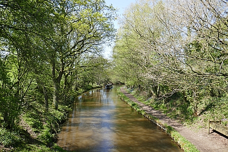
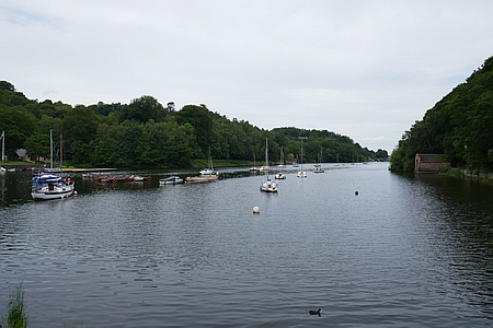
Walk 213
- 30/06/19 Rudyard Lake |
| Area |
Staffordshire |
Distance |
6 miles |
Ascent |
|
| Walk |
Rudyard Lake |
Maximum altitude |
|
Minimum altitude |
|
| Start
from |
Rudyard Lake Station |
Post |
code |
|
Duration including
stops |
3 hours |
|
|
| Weather |
Sunny periods |
|
|
|
|
| Map |
Explorer 268 |
Information from Viewranger app on my Samsung S7 phone |
|
Route - Rudyard
Station - Railtrack path - Cliffe Park -
Staffordshire Way - Rudyard Station |
|
| Eight
walkers set off from Rudyard Lake Station and followed the
track alongside the Lake to the north end and then
returned along the Staffordshire Way stopping at the Cafe
for refreshments and then back to the start at the
Station. Thanks to everyone for coming along on the
walk. Our group consisted of Wendy, Marlene, Ken,
Chris R, Tom, David I, Una and Sue P. |
|
|
| |
|
|
|
|
| |
|
|
| |
| |
| |
|
|
 |
|
Rudyard Lake |
|
|
|
| |
|
|
| |
|
| |
|
Walk 214 - 14/07/19 Chelford and Nether Alderley |
| Area |
Cheshire |
Distance |
7.71 miles |
Ascent |
253 ft |
| Walk |
Chelford and Nether Alderley |
Maximum altitude |
305 ft |
Minimum altitude |
200 ft |
| Start
from |
A537 Chelford |
Post |
code |
|
Duration including
stops |
4½ hours |
|
|
| Weather |
Sunny periods |
|
|
|
|
| Map |
Explorer 268 |
Information from Viewranger app on my Samsung S7 phone |
|
Route - A537 -
Heawood Hall - Nether Alderley Church - Sossmoss Lane -
David Lewis Centre - Chelford Village - Astle Farm - A537 |
|
|
Fourteen of us set off from the layby on the A537 and
using field paths and tracks we passed Mere Farm and
Heawood Hall and then it was over the bypass and into the
grounds of Nether Alderley Church where we stopped for a
coffee break. As we finished our break the Church Warden
Michael kindly offered to show us the may interesting
features of the beautiful Church which dates from the 14
century including the Stanley
Pews. Afterwards we took the path away from the Church and
crossed the bypass again and followed Sossmoss Lane to the
junction and then across the road and back onto the field
paths and tracks which took us past the David Lewis Centre
where we stopped for lunch. Afterwards a path blocked for
safety reasons gave us a problem but with a bit of
ingenuity and caution we managed to get round the problem,
then it was down the track and into Chelford Village,
another path took us over Chelford Heath and then after
passing Chelford Church a field path and track brought us
back to the start. Many thanks to Christine John D, Wendy,
Judith, Marlene, Irene, Eileen, Chris J, Alec, Dave I,
Shirley, Kati, and Sue P for joining me on this walk.
|
|
|
 |
|
Following the track
away from the Church |
|
|
 |
|
Here come the girls |
|
|
|
|
|
http://www.alderleychurch.co.uk/ |
|
|
|
Nether Alderley
Church on Wikipedia
|
|
|
|
|
 |
|
Nether Alderley Church |
|
|
 |
|
Heading for our lunch spot |
|
|
 |
|
Crossing the potato field |
|
|
|
|
|
| |
|
|
| |
|
| |
|
Walk
215 - 11/08/19 Adlington and Wood Lanes |
| Area |
Cheshire |
Distance |
7 miles |
Ascent |
400 ft |
| Walk |
Adlington and Wood Lanes |
Maximum altitude |
524 ft |
Minimum altitude |
289 ft |
| Start
from |
Adlington |
Post |
code |
SK10 4NA |
Duration including
stops |
4 hours |
|
|
| Weather |
Sunny periods |
|
|
|
|
| Map |
Explorer 268 |
Information from Viewranger app on my Samsung S7 phone |
|
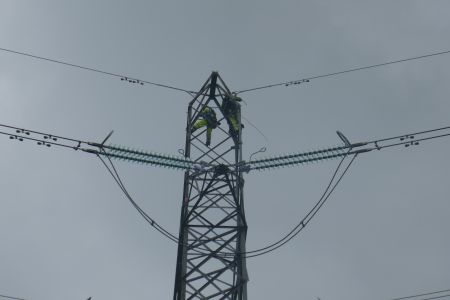
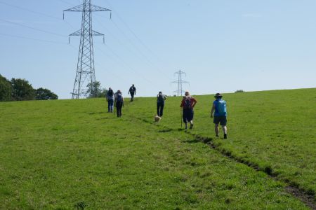
Route - Adlington -
Woodford - Hope Green - Wood Lanes - Macclesfield Canal -
Brookledge Lane - Adlington |
|
|
Twelve of us set off from Adlington and followed the field
paths and tracks across towards Woodford, we passed the
Golf Course and then headed east along the track crossing
the main road at Hope Green. Footpaths and tracks took us
to Wood Lanes and then we joined the Canal and stopped for
lunch. Afterwards we headed south along the towpath and
then found our footpath blocked due to overhead work on
the electricity pylons, we retreated back up the towpath
for a short way and then joined Brookledge Lane for the
walk back to the start at Adlington. A nice flat walk of
seven miles with sunny periods. Our group consisted off
Christine John, Wendy, Alan, Chris R, David I, Judith,
Marlene, Irene, Ken, Sheila and David P our leader. many
thanks to everyone for coming along on this walk. |
|
|
 |
|
Zooming in on the
pylon workers Yop need a head for heights for this. |
|
|
|
|
 |
|
Heading along the towpath |
|
|
|
|
|
|
|
|
|
|
|
|
|
|
|
|
|
| |
|
|
| |
|
| |
|
Walk 216 - 25/08/19 Whaley Bridge and Buxsworth |
| Area |
High Peak |
Distance |
6.51 miles |
Ascent |
711 ft |
| Walk |
Whaley Bridge and Buxsworth |
Maximum altitude |
697 ft |
Minimum altitude |
440 ft |
| Start
from |
Whaley Bridge |
Post |
code |
|
Duration including
stops |
4 hours |
|
|
| Weather |
Sunny |
|
|
|
|
| Map |
OS Dark Peak OL1 |
Information from Viewranger app on my Samsung S7 phone |
|
Route - Whaley Bridge
- Peak Forest Canal - Newtown - Gowhole - Brierley Green -
Buxsworth- Whaley Bridge |
|
|
Eleven of us set off
on a bright sunny morning and followed the Peak Forest
Canal north to the outskirts of Newtown and then crossed
the River Goyt and followed the field paths and tracks to
Gowhole. Overgrown paths and muddy places were negotiated
and once under the railway arch we found a sunny spot for
lunch on the hillside. More field paths and tracks
eventually brought us to Brierley Green and then onward to
Bugsworth Canal Basin where we stopped for refreshments at
the Navigation Inn. Afterwards an easy walk back down the
towpath brought us back to the start in Whaley Bridge.
Many thanks to Anita, Judith, Irene, Ken, Chris R, Sue V,
Andy, Alison, Kati and Wendy fore joining me on this sunny
walk. |
|
|
 |
|
Heading across the
fields to Buxsworth |
|
|
|
|
|
|
|
|
|
|
|
|
River Goyt |
|
|
 |
|
Whaley Bridge Canal Basin |
|
|
|
|
|
|
|
|
|
|
|
| |
|
|
| |
|
| |
|
Walk 217
- 08/09/19 - Higher Hurdsfield and Kerridge |
| Area |
Cheshire |
Distance |
5.30 miles |
Ascent |
568 ft |
| Walk |
Higher Hurdsfield & Kerridge |
Maximum altitude |
847 ft |
Minimum altitude |
420 ft |
| Start
from |
Higher Hurdsfield |
Post |
code |
|
Duration including
stops |
3.50 hours |
|
|
| Weather |
Sunny periods |
|
|
|
|
| Map |
Explorer 268 |
Information from Viewranger app on my Samsung S7 phone |
|
Route - Higher
Hurdsfield - Calrofold Lane - Kerridge End - Kerridge
Ridge - Kerridge - Higher Swanscoe Farm - Higher
Hurdsfield |
|
|
Twelve of us set off from the car park and after reaching
the field path we headed across Cliff Hill we reached
Calrofold Lane and followed this to Kerridge End, we
crossed the main road and joined the hillside track where
we stopped for a coffee break. Then it was along the
hillside passing many of the important historical features
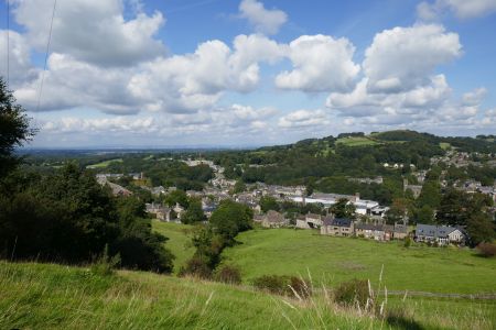
which included the California Coal Mine and the Wedding
Steps with Hough Hole Gardens in the valley below. We
rounded the hillside beneath White Nancy and stopped for
lunch on the hillside overlooking Bollington. Afterwards
we continued on along the track past the old Redway
Tavern, now closed and then along the lane passing the
Bulls Head where we joined the field path which took
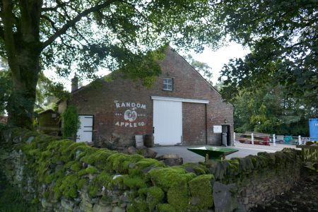
us across to Higher Swancoe Farm and the Random Apple
Company. A short walk down the lane brought us back to the
car park. Many thanks to Christine, Anita, Kim, Ken, Chris
J, Derek, Ros, Andy, Kati, Sue V, Chris R and David for
leading us on this walk. |
|
|
| |
 |
|
Heading across the
fields to Higher Swanscoe Farm |
| |
|
|
| |
| |
| |
|
|
 |
|
Lunch break overlooking Bollington |
|
|
 |
|
The
Random Apple Company |
|
|
|
|
|
|
|
|
|
|
|
| |
|
|
| |
|
| |
|
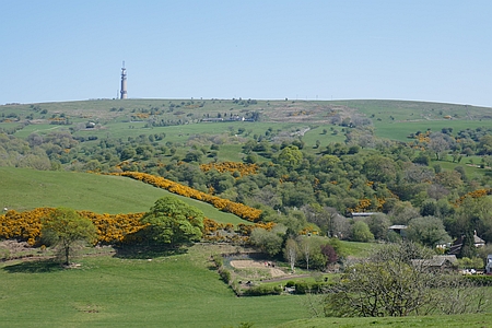
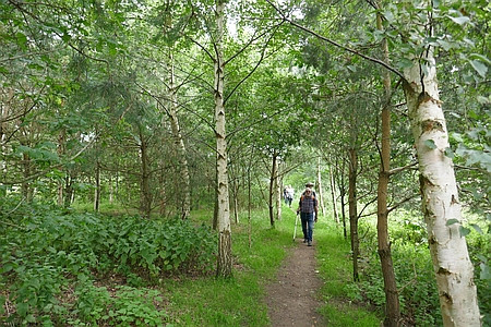
Walk 218- 22/09/19 Sutton Common from Lyme Green |
| Area |
Cheshire |
Distance |
8.17 miles
|
Ascent |
1364 ft |
| Walk |
Sutton Common from Lyme Green |
Maximum altitude |
1325 ft |
Minimum altitude |
496 ft |
| Start
from |
Lyme Green |
Post |
code |
|
Duration including
stops |
4 hours |
|
|
| Weather |
Overcast, showers |
|
|
|
|
| Map |
Explorers 268 |
Information from Viewranger app on my Samsung S7 phone |
|
Route - Lyme Green -
Sutton Reservoir Hawkeshead Quarry - Croker Hill - Sutton
Common - Gawsworth Common - Oakgrove - Lyme Green |
|
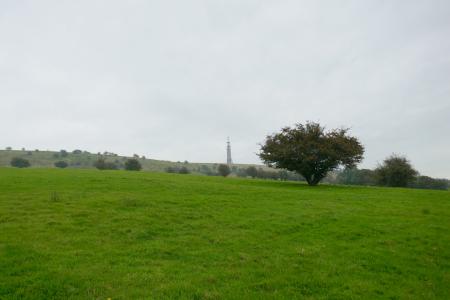
| Just
two of set off from Lyme Green and headed along the canal
towpath, the early morning heavy rain had ceased and
although it was overcast it was quite warm. We left the
canal and passed Sutton Reservoir and then began the walk
up the lane past Hawkwhead Quarry and Croker House.
Further on we passed Hanginggate Farm and then onto the
ridge over Croker Hill. Further on we arrived at the Radio
Tower on Sutton Common. We then followed the track down
the hillside stopping for lunch with some great views
across the Cheshire Plain. The path descended the hillside
and into the woods above Oakgrove. On reaching the lane we
crossed the main road and joined the canal just as the
rain started again. It was waterproofs on and a steady
walk back along the towpath top the start at Lyme Green.
many thanks to Dave I for joining me on this walk. |
|
|
 |
|
Looking up at the
Radio Tower |
|
|
| |
|
|
| |
| |
| |
|
|
.jpg) |
|
The
Radio Tower on Sutton Common |
|
|
 |
|
Heading down to Oakgrove |
|
|
|
| |
|
|
| |
|
| |
|
Walk 219 - 06/10/19 Ashley and
Mobberley with Broken Cross Walkers |
| Area |
Cheshire |
Distance |
7.48 miles |
Ascent |
677 ft |
| Walk |
Ashley and Mobberley with Broken Cross Walkers |
Maximum altitude |
197 ft |
Minimum altitude |
80 ft |
| Start
from |
Ashley |
Post |
code |
|
Duration including
stops |
4 hours |
|
|
| Weather |
Overcast |
|
|
|
|
| Map |
Explorer 268 |
Information from Viewranger app on my Samsung S7 phone |
|
Route - Ashley - Arden
House - New Mills - Castle Mill - Bollin Valley Way - Hale
Golf Club - Tanyard Farm - Ashley |
|
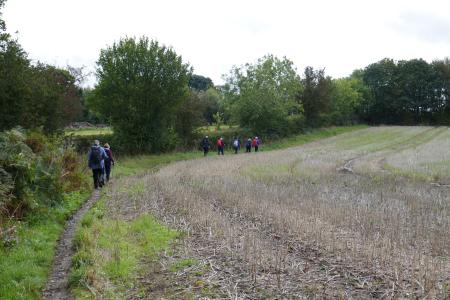
| Eight
of us set off from Ashley and followed the field path past
the cricket ground and over the fields to Arden House, a
magnificent Georgian building which is very close to the
proposed HS2 rail line. Then it was along the field paths
and tracks to the small hamlet of New Mills. Then more
field paths took is over some very boggy fields and it was
with difficulty that we eventually managed to find a
dry spot to eat our lunch, Afterwards we continued on
passing Castle Mill and joined the Bollin Valley Way, the
river was running quite high due to all the recent rain.
We passed under the noisy M56 and then after more woods we
passed Hale Golf Club and then up the path to join the
road near Tanyard Farm/ An easy walk along the lane
brought us back to the start in Ashley. Many thanks to
Wendy, Eileen, Judith, Irene, Andy, Chris J and Alec for
joining me on this walk. |
|
|
| |
|
|
|
 |
|
Heading back towards
Ashley |
|
|
| |
| |
| |
|
|
 |
|
Arden House |
 |
|
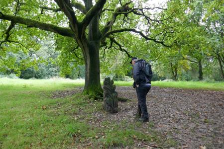
Andy
studying a wooden sculpture on the Bollin Valley Way |
|
|
|
|
|
|
|
|
|
|
|
| |
|
|
| |
|
| |
|
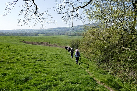
Walk 220 - 20/10/19 Allostock and Lower Peover |
| Area |
Cheshire |
Distance |
6.40 miles |
Ascent |
123 fty |
| Walk |
Allostock and Lower Peover |
Maximum altitude |
152 ft |
Minimum altitude |
98 ft |
| Start
from |
Allostock, Shackerley
Mere |
Post |
code |
|
Duration including
stops |
4 hours |
|
|
| Weather |
Sunny periods, showers |
|
|
|
|
| Map |
Explorer 268 |
Information from Viewranger app on my Samsung S7 phone |
|
Route - Shakerley Mere
- Hulme Hall - Cheadle Heath - Lower Peover - Fox Covert -
Dams Lane - Shakerley Mere |
|
|
Twelve of us
set off from Shakerley Mere car park and walked along
Hulme Hall Lane, we passed the historic Hulme Hall along
the previously blocked path which was very
overgrown with nettles. The nettles were again completely
blocking the path so we used the adjacent farmers field to
bypass the problem and eventually emerged back on the
track near Hulme Hall Mill. Then it was across the road past New Farm and along the
track over the M6 where we stopped for lunch by the Chalet
at the abandoned Plumley Golf Course. More paths
took us across the fields and into Lower Peover. Then it was
through the Churchyard and along the track that led south
and past Mill Bank Farm and Fox Covert and then back to Shakerley
Mere. Thanks to Anita, Wendy, Judith, Irene, Sheila,
Rob, Kim, Alec, Chris J, Anne and Andy for joining me on
this walk. |
|
|
 |
|
Lunch by our little
Chalet |
|
|
| |
|
|
|
|
 |
|
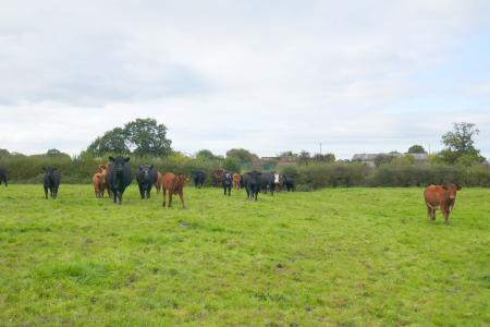
Some
nosey cattle |
|
|
 |
|
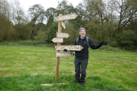
Alec
is in charge of directions |
|
|
|
|
|
|
|
|
|
| |
|
|
| |
|
| |
|
Walk 221
- 03/11/19 Lower Peover and Peover Hall with
Broken Cross Walkers |
| Area |
Cheshire |
Distance |
7.54 miles |
Ascent |
294 ft |
| Walk |
Lower
Peover and Peover Hall with Broken Cross Walkers |
Maximum altitude |
207 ft |
Minimum altitude |
112 ft |
| Start
from |
Radbroke Hall |
Post |
code |
|
Duration including
stops |
|
|
|
| Weather |
Misty then sunny
periods |
|
|
|
|
| Map |
Explorer 268 |
Information from Viewranger app on my Samsung S7 phone |
|
Route - Radboke Hall-
Freegreen Farm - Lower Peover - Woodend Farm - Peover Hall
- Radbroke Hall |
|
|
Twelve of us set off on a misty morning from the lay-by
near Radbroke Hall, we followed track known as Sandy Lane
down to Freegreen Farm and then down the road to the
outskirts of Lower Peover. Field paths and tracks took us
to Millbank Farm as the sun finally broke through the
early morning mist. We crossed the lane and followed the
brook named Peover Eye to the A50. A short way up the road
we took the field path stopping for lunch in the fields
before continuing along the path to Boots Green. WE
followed the lane eastwards and then a field path took us
up through Great Wood and into the grounds of Peover Hall,
an Elizabethan house with origins dating back to 1585. We
passed St Lawrence's Church close by and then followed the
track out to the entrance on the A50 and then it was a
short walk back up the road to the start. Many
thanks to Christine, Anita, Wendy, Chris R, Derek, Andy,
Ken, Chris J, Alec, Anne, and Kati for joining me on this
interesting and scenic walk. |
|
|
 |
|
Walking through Great
Wood |
|
|
 |
|
Peover Hall |
| |
| |
| |
|
|
 |
|
Alec
showing us the way again, who needs maps? |
|
|
 |
|
St
Lawrence's Church. Over Peover |
|
|
|
|
|
|
|
|
|
|
|
|
|
|
|
|
|
|
|
|
|
|
|
|
|
| |
|
|
| |
|
| |
|
Walk 222-
17/11/19 Whaley Bridge, Toddbrooke and Taxal |
| Area |
High Peak |
Distance |
7 miles |
Ascent |
|
| Walk |
Whaley Bridge, Toddbrook and Taxal |
Maximum altitude |
|
Minimum altitude |
|
| Start
from |
Taxal Layby |
Post |
code |
SK23 7JX
|
Duration including
stops |
3½ hours |
|
|
| Weather |
Showers |
|
|
|
|
| Map |
|
Information from Viewranger app on my Samsung S7 phone |
|
Route - Taxal layby -
Shallcross House - Cadster House - Buxworth Basin -
Bridgemont - Toddbrook - Tasxal |
|
|
Seven of us set off on a damp morning from Taxal Layby, we
followed the track up to Shallcross Hall Farm and then
down the road to cross by the foundry along to Cadster
House. From there we crossed Chapel Road and continued
along to skirt Throstledale and had coffee and cupcakes
(courtesy of Andy) by Roosdyche. Next we headed to
Buxworth Basin for lunch by the canal and then walked
along to Bridgemont where we crossed the A6 to pass
through fields to head back by Stoneheads. Crossing Whaley
Lane we turned into Start Lane to return via Toddbrook and
Taxal.
Many thanks to Wendy, Andy, Kati, Sheila, Judith and
Alan for joining me on this walk. And also thanks to Sue
Vernon who led the walk. |
|
|
| |
|
|
|
|
| |
|
|
|
|
 |
|
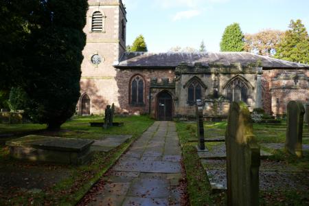
Taxal Church |
|
|
|
| |
|
|
| |
|
| |
|
Walk 223-
01/12/19 Redesmere and Capesthorne |
| Area |
Cheshire |
Distance |
7 miles |
Ascent |
|
| Walk |
Redesmere and Capesthorne |
Maximum altitude |
|
Minimum altitude |
|
| Start
from |
Redesmere |
Post |
code |
SK11 9JR |
Duration including
stops |
3½ hours |
|
|
| Weather |
Frosty start, sunny |
|
|
|
|
| Map |
Explorer 268 |
Information from Viewranger app on my Samsung S7 phone |
|
Route - Redesmer -
Capesthorne - Siddington - Redesmere |
|
|
Eight walkers set off from the car park by Redesmere Lake
in lovely sunshine after a very frosty start. We walked
from Redesmere then crossed into Capesthorne and across
farmland around Siddington. Still muddy in places despite
the frost, The walkers today were Irene, Andy, Ken, Derek,
Trevor, Rob, Hans and Wendy A special thank you to Wendy
for organising and leading the walk. |
|
|
| |
|
|
|
|
| |
|
|
| |
| |
| |
|
|
 |
|
The
lake at Capesthorne |
|
|
|
| |
|
|
| |
|
| |
|
Walk 224 - 15/12/19 Castleton and Hope |
| Area |
Peak District |
Distance |
6.90 |
Ascent |
661 ft |
| Walk |
Castleton and Hope |
Maximum altitude |
898 ft |
Minimum altitude |
531 ft |
| Start
from |
Treak Cliff |
Post |
code |
S33 8WA |
Duration including
stops |
4¾ hours |
|
|
| Weather |
Sunny periods then
rain |
|
|
|
|
| Map |
|
Information from Viewranger app on my Samsung S7 phone |
|
Route - Treak Cliff -
Odin Mine - Dunscar Farm - Losehill Hall - Spring House
Farm - Hope Church - Peakshole Water - Castleton - Treak
Cliff |
|
|
Thirteen of us set off
from Treak Cliff near Castleton and after a short distance
up the road we passed Odin Mine, the oldest documented
lead mine in Derbyshire and is thought to be the oldest
lead mine in England.
Muddy tracks and paths
took us to Dunscsar Farm.and then across the fields to
Hope via Losehill Hall and Spring House Farm. Most of the
paths and tracks were wet and muddy and we became quite
adept at squelching
along and dodging the boggy bits. On arrival in Hope we
made our way to the Church yard and ate our lunch.
Afterwards we
continued on alongside the Peakshole Water towards
Castleton. The sunny weather had disappeared and was
replaced by rain as our muddy contingent arrived into
Castleton. Some of the group carried on back to the cars
and the rest of us went into a Cafe for coffee and
cakes. Suitably refreshed we emerged to find the rain
had stopped and we followed the lane back up to the
start by Treak Cliff Cavern.
Luckily most of the walk was
sunny with some great views but a bit wet at the end.
Many thanks to everyone for coming along on the walk.
Our group
consisted of Christine, Jackie B, Kati, Derek, Trevor,
Alec, Judith, Jim, Katherine, Chris R, Sheila, Shirley
and David P the leader.
|
 |
|
Heading towards Hope
with Mam Tor behind |
|
|
|
|
|
|
 |
|
Looking across to Mam Tor with its dusting of snow |
|
|
 |
|
Ready to leave Hope after our lunch |
|
|
|
| |
|
|
| |
|
| |
|
Walk 225 - 29/12/19 Tytherington, Prestbury and Butley
Town |
| Area |
Cheshire |
Distance |
2.40 miles |
Ascent |
607 ft |
| Walk |
Tytherington, Prestbury and Butley Town |
Maximum altitude |
1325 ft |
Minimum altitude |
606 ft |
| Start
from |
Riverside Park Tytherington |
Post |
code |
SK10 2SL |
Duration including
stops |
4 hours |
|
|
| Weather |
Sunny periods |
|
|
|
|
| Map |
Explorer 268 |
Information from Viewranger app on my Samsung S7 phone |
|
Route - Riverside Park
- Bollin Valley Way - Prestbury - Butley Town - Dumbah
Hollow - Middlewood Way - Riverside Park |
|
|
Fifteen of us set off from Riverside Park Macclesfield and
followed the Bollin Valley Way to Prestbury, were stopped
for a while for a coffee break in Parrots Field. We then
continued along the lane and through Park House Farm,
across the fields and over the railway bridge to the A523.
A path then led us over the field which turned out to be
one of the muddiest fields we have ever crossed, we
emerged eventually onto firm ground and headed into the
small hamlet of Butley Town where David the leader assured
us there should be a bench and a suitable place for lunch.
Alas, we discovered the bench was missing and we were told
by a lady nearby that it was her bench and it had been
relocated to her paddock. She kindly invited us into the
paddock to eat our lunch. Once seated on the various
benches she offered us refreshments and soon produced a
bottle of Champagne and glasses and some truffles which we
all enjoyed immensely. A second bottle was produced and
enjoyed and it was with some difficulty that we eventually
set off on the remainder of our walk. A wonderful
experience and many thanks to Caroline, David, and Emily
for the wonderful hospitality. Field paths led us across
to Dumbah Hollow and eventually, we arrived at the
Middlewood Way which we followed back towards Macclesfield
and then it was a short distance back to the start. A
great walk that will forever be known as the "Mud and
Champagne Walk" Our group consisted
of Chris J, Alec Kim, Irene, Wendy, Derek, Chris R, Sue V,
Jim, Catherine, Kati, Judith, Trevor, Sheila, and David
our leader. |
|
|
|
 |
|
Heading towards
Butley Town |
|
|
 |
|
Heading back towards
the Middlewood Way |
| |
|
|
Coffee break in
Prestbury |
|
|
 |
|
Wonderful hospitality at Butley Town |
|
|
 |
|
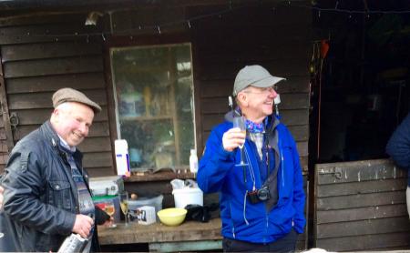
David enjoying his Champagne with one of our hosts David on the
left. |
|
|
|
|
|
|
|
| |
|
|
| |
|
| |
|
|
|
Another great year
with over 150 miles of walking in 25 walks and lets look forward
to more great walks next year. |
|
|
|
| |
| |
|
